
The salse di Nirano,
a natural spectacle
The Salse di Nirano Nature Reserve is a protected natural area located entirely within the municipality of Fiorano Modenese, in the province of Modena.
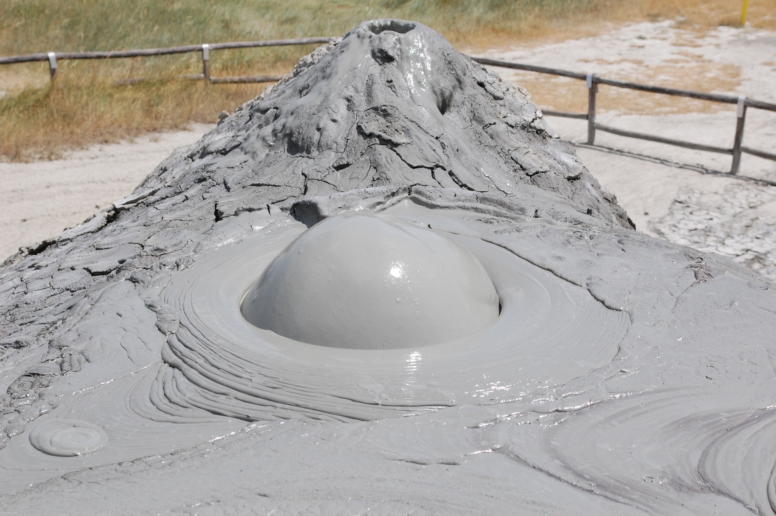
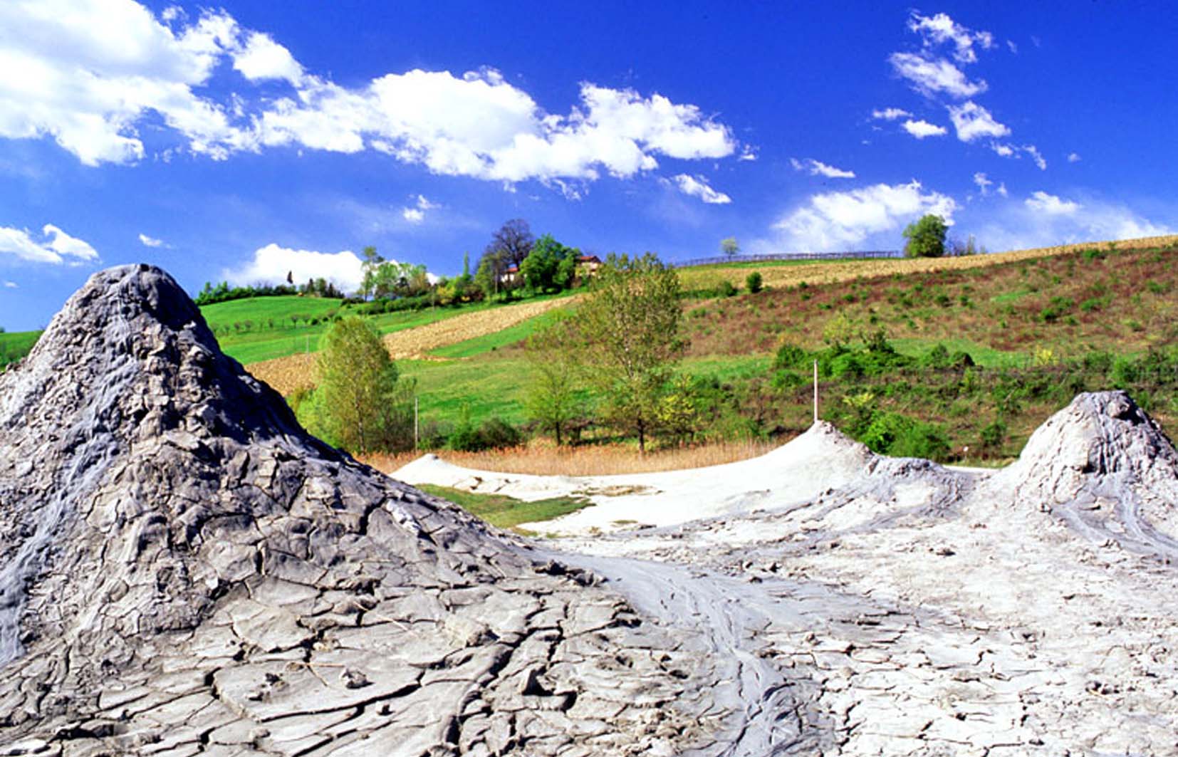
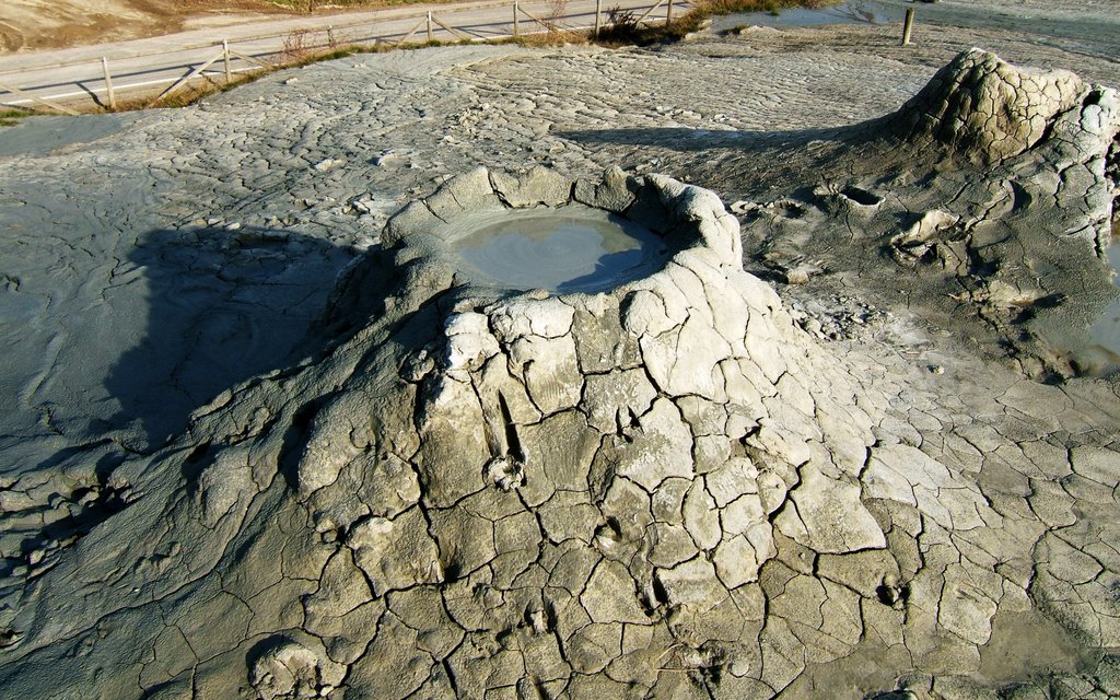
The heart of the protected area features an unusual geological phenomenon: eruptive mud volcanoes (salse).
The nature reserve is fully contained within the "Salse di Nirano" Site of Community Importance (code IT40400007), which spans an area of 371 hectares—nearly double the size of the reserve itself.
The reserve's total area of approximately 207 hectares is divided into a strictly protected core zone of 5.5 hectares (fully under public ownership), alongside two buffer zones with varying levels of protection.
The term salse refers to specific springs of salty, muddy water whose temperature remains close to the local atmospheric average, through which bubbles of a gas mixture—mainly methane—gurgle up to the surface. Small amounts of liquid hydrocarbons are also frequently emitted, creating patches, films, or halos on the mud surface.
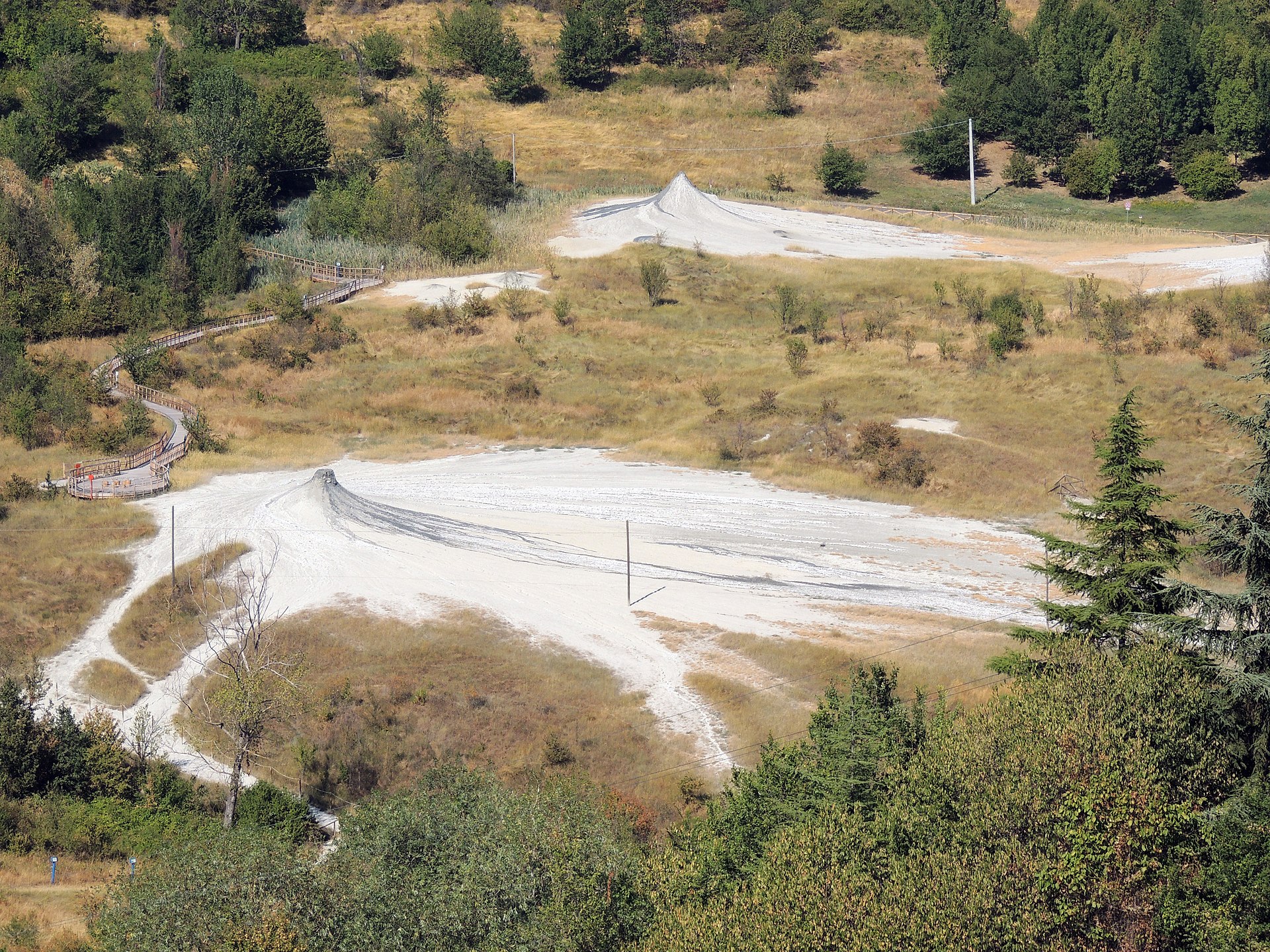
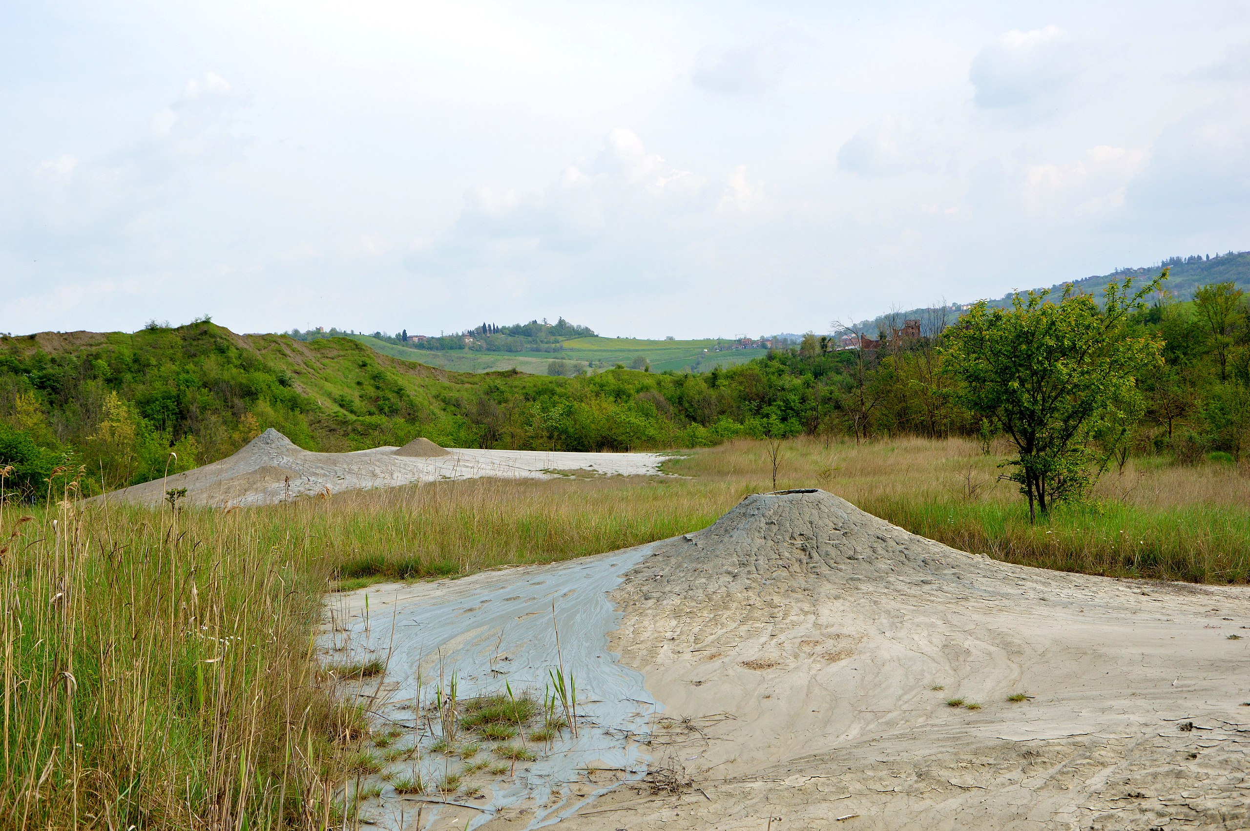
The area affected by the Salse di Nirano phenomenon covers about 10 hectares at the bottom of a depression set between hills made of ash-grey clay, at an altitude of approximately 200 to 220 meters above sea level. These so-called "blue clays" (argille azzurre) were deposited during the Pliocene epoch on the seabed of the ancient Adriatic Sea, which back then covered the entire Po Valley and parts of the Apennines.
The mud field is surrounded by a ring of low hills, some of which are marked by badland formations. The Salse di Nirano field is divided into two sections along a NW-SE axis by a sharp fault step of tectonic origin, creating two blocks at different elevations with a height difference of 10 to 15 meters.
Saline Deposits at the Salse di Nirano
The name salsa comes from the Latin salsus (meaning "salty"), referring to the high salt content of the muddy waters. The salinity is predominantly due to sodium chloride, which becomes readily visible when the erupted mud dries out and evaporation leaves behind thin white films and efflorescences on the surface. These salty waters are termed "connate" waters—meaning they originally formed within the sediments deposited millions of years ago in the ancient Adriatic Sea, which was vastly larger than it is today. Trapped deep within the sedimentary layers over time, these are officially classified as fossil waters.
Like the salty waters, the hydrocarbons present were generated at great depths through the anaerobic decomposition of organic plant and animal matter. Their presence is easily verifiable thanks to the flammability of the emitted gases and the presence of brown oil slicks.
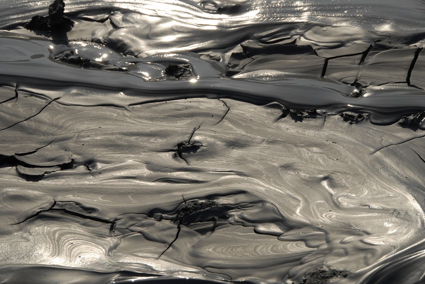
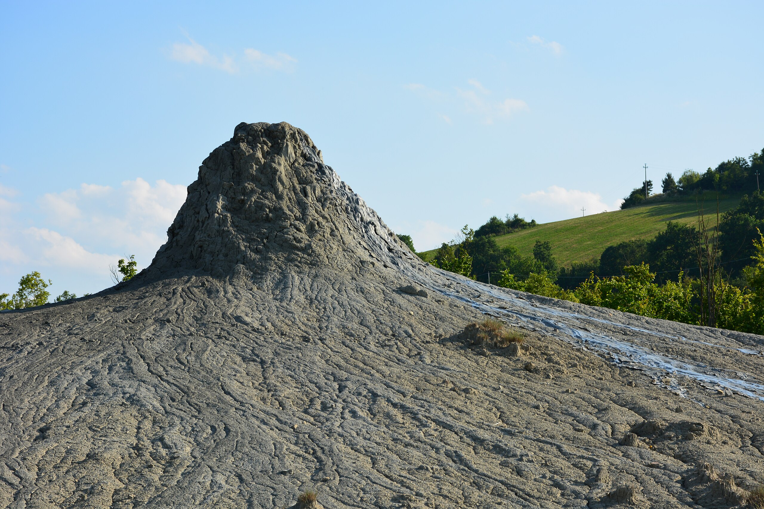
The silt-clay materials are carried upward by gases and water, primarily along fractures and faults. Once at the surface, they deposit along the flanks of the mud vents (apparati lutivomi), serving as evidence of the rock layers traversed by the fluids during their ascent.
The mud volcanoes are located at the bottom of a sub-circular depression (caldera). The silt-clay materials erupting from the vents cover the surrounding ground through mudflows; over time, as this phenomenon repeated, the basin floor became largely covered by mud deposits several meters thick. The mud emerging from the vents flows along ditches and the Rio delle Salse stream into the Torrente Fossa, which runs a few kilometers away.
Boardwalks Around the Mud Volcanoes
The Ca’ Tassi visitor center the first energy-self-sufficient facility in the regional protected areas system serves as the primary service hub for the reserve. It was created by renovating an old rural complex according to green building principles, retaining its original name.
The center features spaces designed for a wide range of indoor and outdoor activities. Ca’ Tassi houses a reception desk for initial greeting, information, and educational materials, an audiovisual screening room, an equipped picnic area, an auditorium, offices, meeting and consultation rooms, a laboratory, and a natural history museum. The facility frequently hosts events and gatherings.
In October 2010, Ca' Rossa was inaugurated a 19th-century rural complex classified as a "building of historical, architectural, cultural, and documentary value." It houses the Ecomuseum, dedicated to preserving and protecting the local area's unique features, tangible and intangible heritage, culture, and traditions.
Vegetation
The overall vegetation in the reserve is influenced by the salty, clay-rich soil (the term salsa stems directly from this). It predominantly consists of shrub species including broom and wild roses grasses, and horsetails. Tree species include elms and willows near the wetter areas.
The landscape of the central volcanic area presents a wide, muddy clearing almost devoid of vegetation. However, a closer look near the mud cones reveals a few rare plants of the species Puccinellia fasciculata, a halophytic grass capable of thriving in arid, salty soils. The Salse di Nirano field represents the only site in the Natura 2000 Network where this species is found.
Puccinellia fasciculata is a herbaceous species growing 15–80 cm tall, featuring spiked inflorescences composed of numerous small spikelets 3–4 mm long. It has a Mediterranean-Atlantic distribution, occurring along the northern Adriatic coast from Friuli-Venezia Giulia to Abruzzo, as well as along the coasts of Tuscany, Sicily, and Sardinia. It is a myo-halophytic species (thriving in salty, muddy soils) that grows in brackish environments, including embankments and clay substrates in reclaimed lands. The genus name honors the Tuscan botanist Benedetto Puccinelli (1808–1850).
Its presence in the Salse di Nirano region a foothill area far removed from coastal zones aroused the curiosity of numerous scholars as early as the beginning of the 20th century, prompting the designation of Salse di Nirano as a nature reserve back in 1982. The presence of Puccinellia fasciculata here raises an intriguing question: how did a coastal plant make its way to inland Emilia-Romagna, over 100 kilometers from the sea? For now, the only certainty is that Puccinellia thrives near the famous mud volcanoes thanks to the slight soil salinity produced by the eruption of mud mixed with ancient fossil water.
Source: Wikipedia (2025)
Part of the music video for the song Quando una stella muore by singer-songwriter Giorgia was filmed in 2013 at the "Salse di Nirano" Nature Reserve (specifically the scenes where she wears a black dress).